|
|
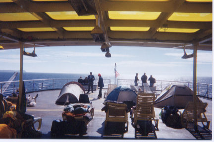
| My temporary home on the right would surely have blown away without some good ol' trusty duct tape. |
|
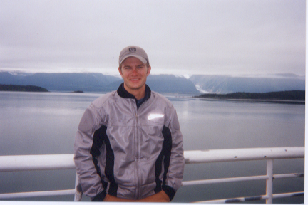
| At 59 * North Latidude, it was a balmy 45 * Farhrenheit. Davidson Glacier is in the background. |
View U.S. Geological Survey map of Davidson Glacier (~12 miles south of Haines)
|
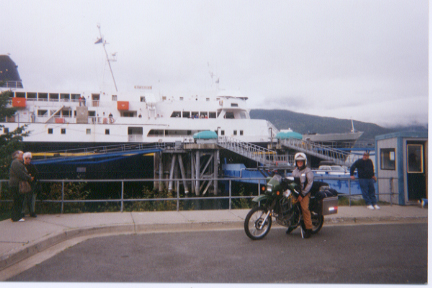
| Arrival in Haines, Alaska with the Matanuska in the background. |
|
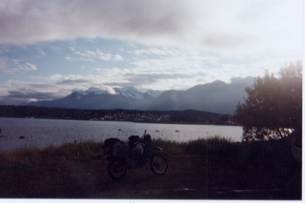
| Looking southwest across Portage Cove, my first view of Haines after disembarking the Matanuska. |
|
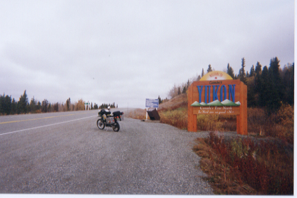
| Two hours north of Haines, this crossing from BC into Yukon is really in the middle of nowhere. |
|
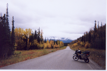
| I rode south through British Columbia on the muddy but very beautiful Cassiar Highway. |
|
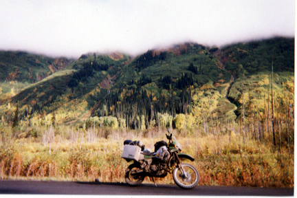
| Stopping here to admire the scenery, I ended up reparing a turn signal cover with a little duct tape |
|
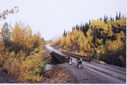
| How far south does that road go? Only one way to find out... |
|